Public Information Series
No charge for publications in this series.
Public Information Series are published as general information about a geologic subject and are intended for use by educators, students and the general public.
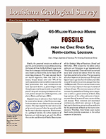
46-Million-Year-Old Fossils from the Cane River Site, North-Central Louisiana, 2002, 7 pp.
Provides fossil evidence to document the history of life on earth and to understand the geologic history of Louisiana.
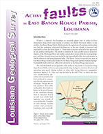
Active Faults in East Baton Rouge Parish, Louisiana, 2001, 8 pp.
This pamphlet provides information on the Baton Rouge Fault System, and discusses possibilities for future research.
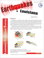
Earthquakes in Louisiana, 2001, 8 pp.
A brief discussion on fault types, measurements, and magnitudes of Louisiana earthquakes.
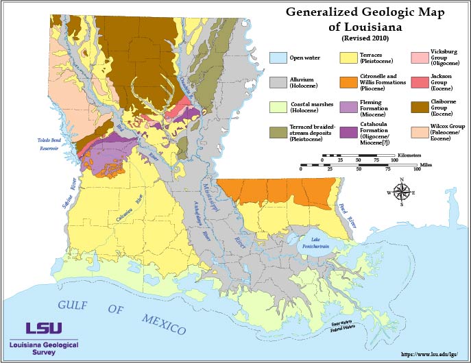 Louisiana Generalized Geology
Map of generalized geology of Louisiana with a brief description of the geology of Louisiana.
Geologic Mapping in Louisiana, 1998, 2 pp.
Presents the background of geologic mapping in the state and summarizes geologic-mapping activities since 1985, with special emphasis on cooperative agreements with the U.S. Geological Survey for compilations of surface geology at intermediate scales (1:250,000- and1:100,000-scale quadrangle formats).
Geology and Hurricane Protection Strategies in the Greater New Orleans Area, 2006, 31pp.
Focuses on the geological foundation that has led to different types of subsidence effects in the New Orleans area. These include effects that are thoroughly natural, those accelerated by activities in inhabited areas of coastal south Louisiana, and some that are entirely human induced. Reflection on the consequences of subsidence for continued habitation of south Louisiana, particularly the related increased vulnerability to storm damage. A hurricane-history section details Louisiana’s and the wider Gulf Coast’s experiences with hurricanes since the 1700s.

Jennings Field; The Birthplace of Louisiana’s Oil Industry, 2001,27 pp.
This publication presents a history of Louisiana’s oil industry including geology of the area and a multi-page historical photo essay.
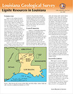
Lignite Resources in Louisiana, 2000, 4 pp.
Provides information on lignite formation, occurrence, and history of lignite mining in Louisiana.
 Louisiana Geofacts, 2001, 8 pp.
Provides summary information on not well known, but interesting, geological facts of Louisiana.
Louisiana Petroleum Industry Facts, 2000, 8 pp.
Lists pertinent historic facts of the oil and gas industry, salt domes, crude oil refineries, and industry statistics.
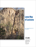
Loess Map of Louisiana, 2008, 4 pp.
“Loess” is a geologic term of German origin that refers to widespread deposits composed of homogeneous layers of friable and porous silt mixed with minor amounts of either clay or fine sand. The loess map that accompanies this text shows the distribution and thickness of the loess deposits along the Mississippi alluvial valley.
Color booklet with photographs and a small-scale map.
Overview of Operations and Contractual Services, 1998, 2 pp.
Introduction and mission statement; general outline of the Survey’s programs and functions.
 The Scotlandville, Denham Springs, and Baton Rouge Faults: A Map Guide for Real Estate Buyers, Sellers and Developers in the Greater Baton Rouge
Area, 2008, 38 pp.
The Scotlandville, Denham Springs, and Baton Rouge Faults: A Map Guide for Real Estate Buyers, Sellers and Developers in the Greater Baton Rouge
Area, 2008, 38 pp.
Although the traces of the Baton Rouge and Denham Springs–Scotlandville faults have been known with essential accuracy for some decades (cf. Roland et al., 1981; Durham, 1982; McCulloh, 1991), the advent of LIDAR-based imagery has made possible the rendering of their traces with hitherto unmatched precision.
The Value of Geologic Maps, 2000, 4 pp.
Discusses the myriad potential uses, applications, and benefits of surface geologic maps of the state, with a figure illustrating the cumulative map production by parish at scales of 1:62,500 and greater.
 Geophysical Investigations of Chalmette Battlefield and National Cemetery, Jean Lafitte
National Historical Park and Preserve, St. Bernard Parish, Louisiana.
Geophysical Investigations of Chalmette Battlefield and National Cemetery, Jean Lafitte
National Historical Park and Preserve, St. Bernard Parish, Louisiana.
Part I: Rodriguez Plantation and Cemetery Sections 131 & 132.